
Jeb’s 3D Flight BagAI
Moving map, 3D terrain, flight planning, charts and weather. Runs in your browser with no install, and now works offline.
Pre-orders now open.
Reserve the first production units with a refundable deposit. Ships from Q2 2027. FCC certification in progress.
Go to store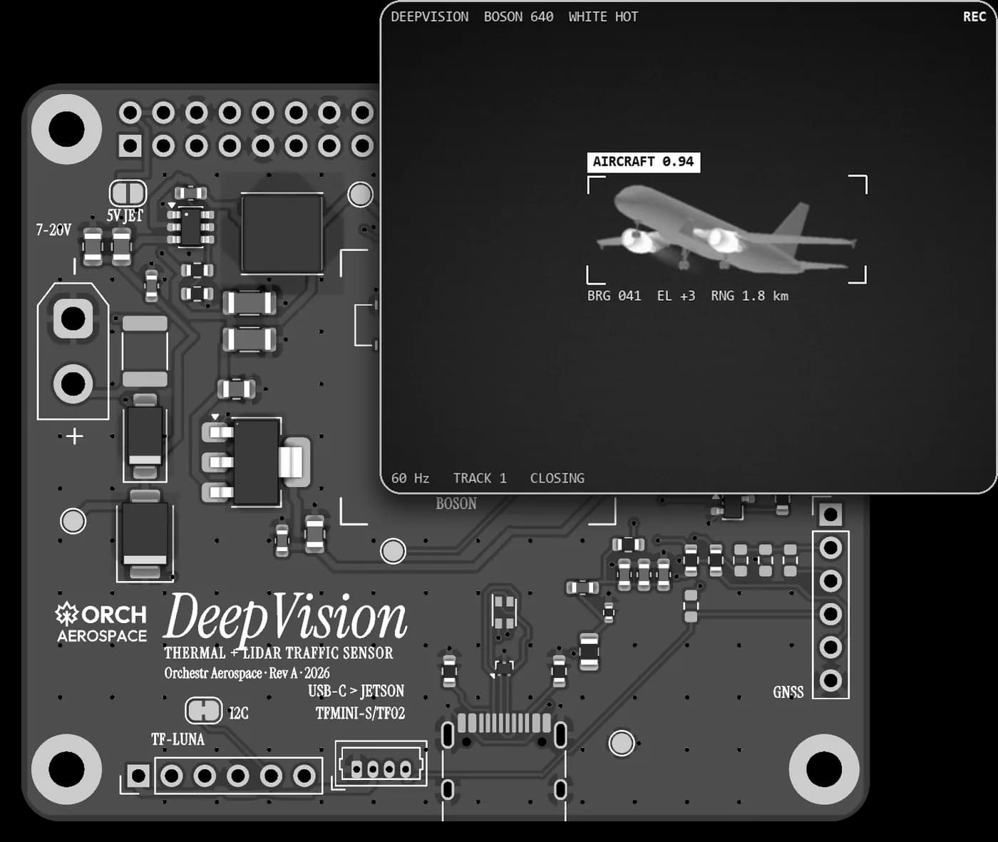
So this is the full stack for the Orch Pathfinder model.
Alternative to ADS-B and GPS, Vision.
ML-based Traffic Detection and Navigation System.
ADS-B depends on GPS. With jamming on the rise in conflict zones worldwide, traffic awareness built only on transponders and GPS has a single point of failure. Where ground stations are sparse, space-based ADS-B carries surveillance the rest of the way. It closes the coverage gap, not the dependency: the position relayed from orbit is still the one the aircraft's own GPS computed.
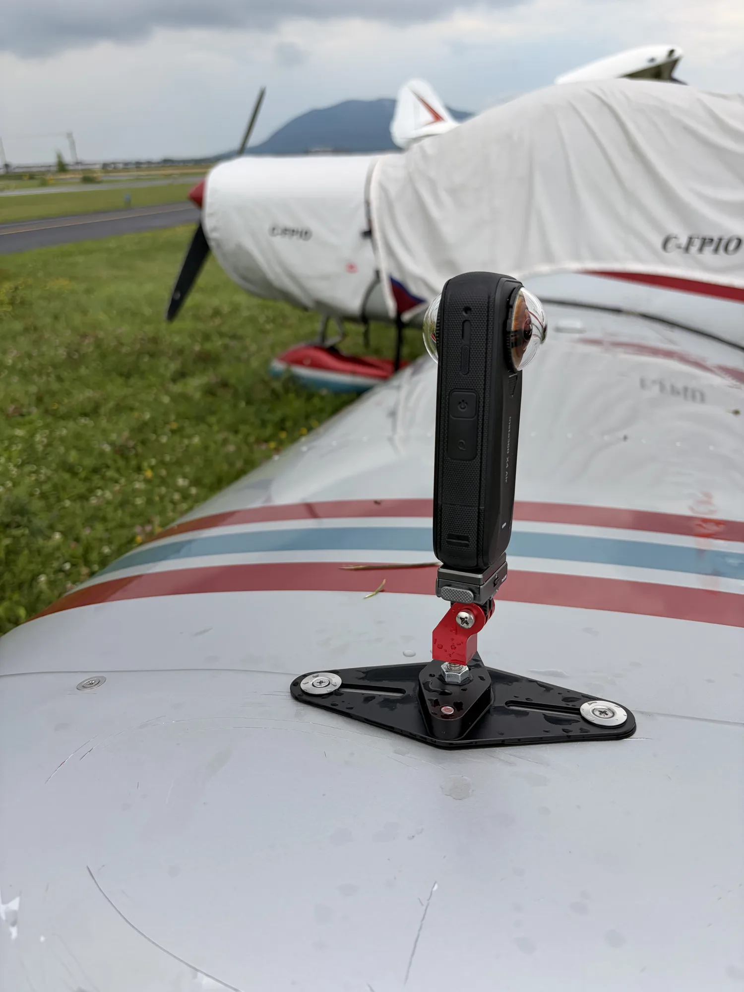
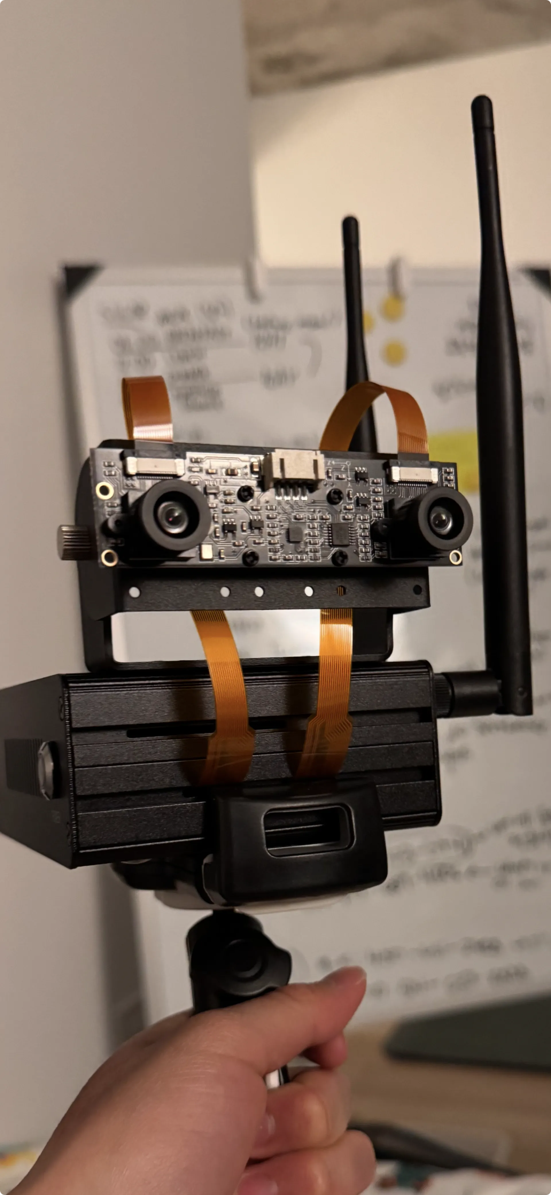
Our computer vision detection runs on the Jetson Orin Nano, with stereo and infrared camera modules. It identifies aircraft, helicopters, drones, birds, and ground terrain in real time. Stereo depth estimates range in meters. Infrared keeps it seeing at night and through haze, when the eye out the window is least reliable. Tested on C-FPIO, our Piper Cherokee avionics system demonstrator.
Detection is the first half. We are building a vision–language–action model on the same stereo and infrared feeds: rather than only naming what it sees, it reads the scene in language — traffic converging, runway occupied, lined up on the wrong surface — and proposes the action. The pilot in command accepts it or ignores it. It advises; it does not fly the aircraft.
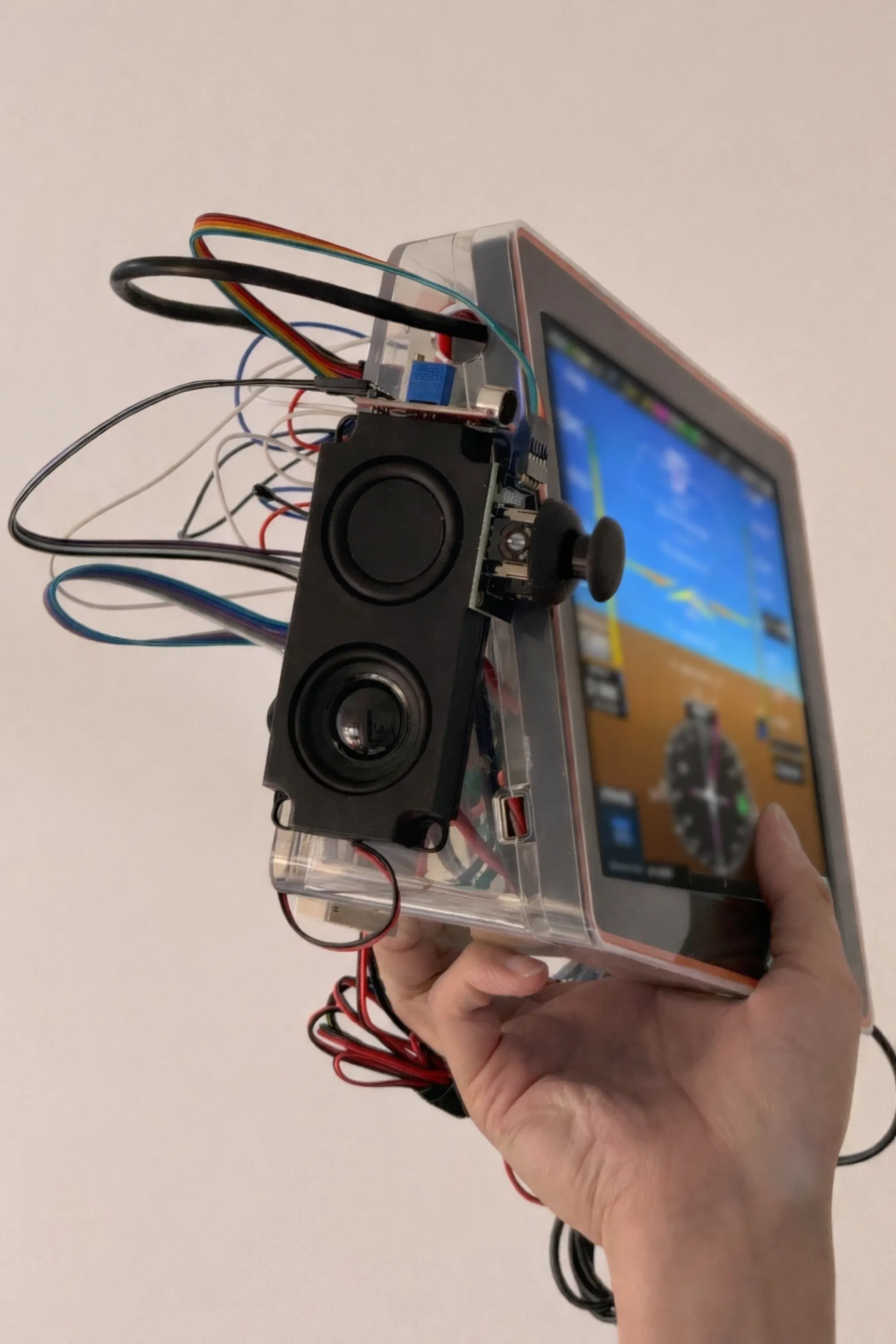
Chat with the Pilot Operating Handbook. (BETA)
Inside the “artificial horizon” there is a chat field. Behind it runs a custom fine-tuned language model on Flight Computer 1 itself: no connection, nothing leaves the aircraft. It is trained on your aircraft's own documents, so you can chat with the POH — ask for best-glide speed, the engine-failure-in-flight flow, or what the fuel system does when a pump quits — and get the answer from your manual, in your cockpit, with the horizon still in view. The same copilot ships in Jeb's Flight Bag on iOS, Android and the web.
It answers from the documents it was given. It does not fly the aircraft, and the pilot in command remains responsible.

Navigation apps for Web, iOS & Android
The full Flight Computer 1 in your flight bag — 3D terrain map, international weather radar, Orch Vision AHRS, and route planning, on iOS and Android. Pairs with qualifying external ADS-B devices for live traffic and weather.
Bringing LLMs toAir Traffic Control.
As the skies grow more congested, we bring the current power of large language models (LLMs) from machine learning to the field of air traffic control.
DeepSDR Mk. 1
A Necessity for International Flying.

Aviation English is the standard, but it is not what you always hear. In Québec, controllers work in French as well as English; across France, much of Latin America, and other parts of the world, tower and centre routinely speak the local language and switch to English only when asked.
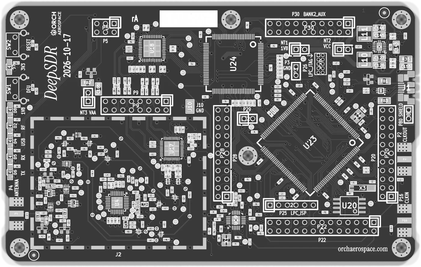
DeepSDR tunes the ATC frequency itself, from 1 MHz to 6 GHz. Paired with Flight Computer 1, a Whisper speech model tuned for ATC phraseology runs fully offline on its AI accelerator: it transcribes every transmission and translates it into English, or the pilot's own language, on a clean, readable display. It is an advisory aid; you still listen to the radio.
It works both ways: French calls come up in English, English calls in French. Connect it to Flight Computer 1 and the live transcript appears right inside the artificial horizon, so the call is in front of you without looking away from attitude.
DISPLAYED ON FLIGHT COMPUTER 1
Air Canada 417, Montréal tour, vent 240 à 12, piste 24 droite, autorisé à atterrir.
Simulated demo
Jetson Orin Nano and DeepVision EVS mounted to the front of the airplane. 3D rendering, final product may not appear the same.
World Model1
Visual positioningwhile seeing through the fog.
We are training a world model that fixes an aircraft’s position the way a person would guess a location from a street-level photo — except it looks out of the aircraft, at the terrain, the coastline, the cloud deck, the sky, and at night, the stars. 360° cameras and infrared vision go in; latitude, longitude, altitude and heading come out. No GPS. No inertial reference. No magnetic drift. Nothing to jam or spoof.
How it works
Capture
A 360° camera ring and a long-wave infrared sensor record the full surroundings of the aircraft, day and night, in and above weather.
Infer
The model has learned what the Earth looks like from the air — ridgelines, rivers, road networks, city light, the sun’s position, the star field. From one frame it estimates where the aircraft is, and from a sequence, how it is moving.
Verify
Every fix carries a confidence and an error radius. It cross-checks against the other sensors on board and flags when the world and the map disagree.
1A world model is a neural network that learns an internal picture of how the world looks and behaves, so it can predict what it should see from a given place, time and viewpoint. Ours is trained on the Earth as seen from the air. It compares what the cameras see with what it expects to see, and the place where the two agree is the aircraft’s position.
Research track. Trained on footage from our own flight-test aircraft, Piper Astrid. US provisional patent filed. Advisory only — not a certified navigation source.
Brain–Computer Interface
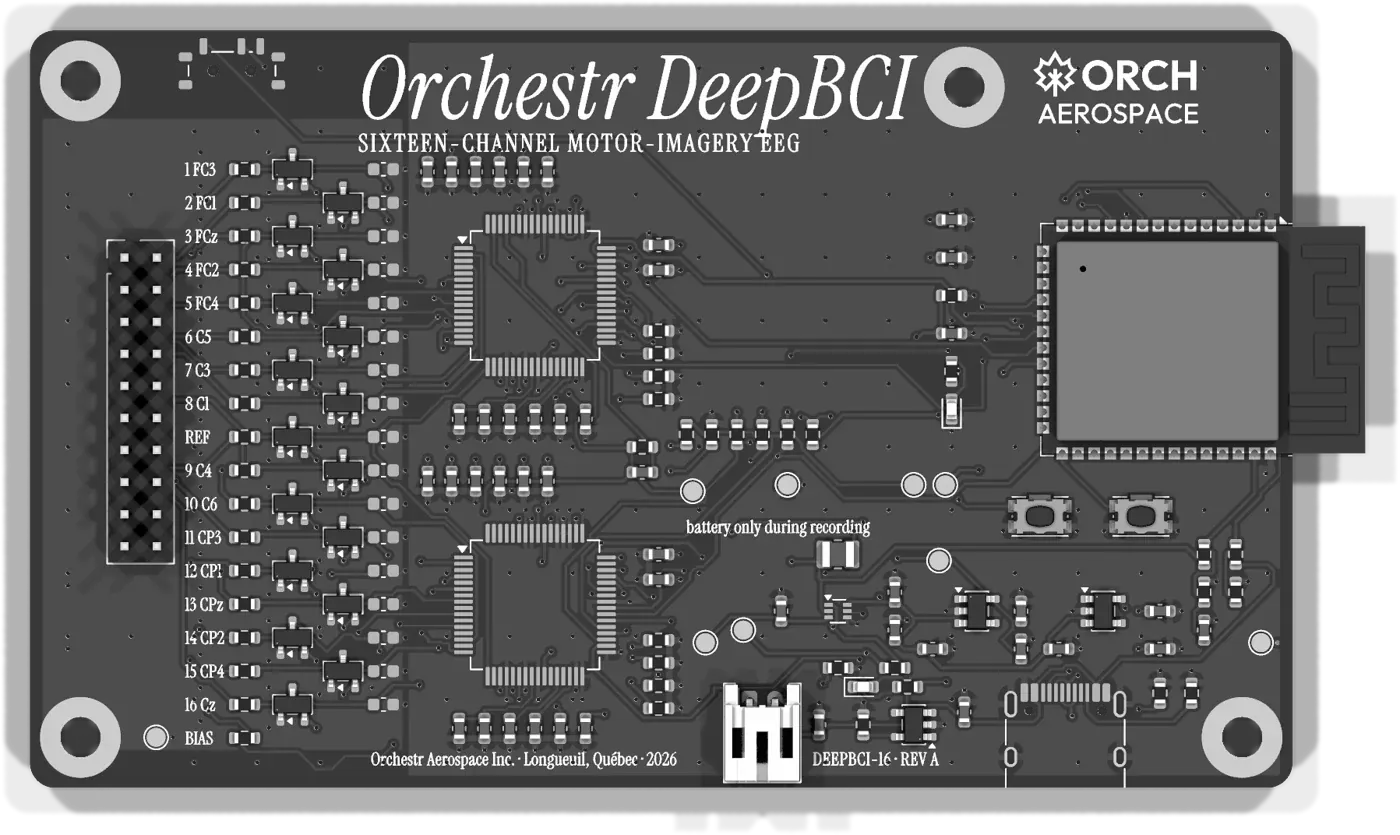
Glass cockpits rely on a Cursor Control Device (CCD) or Keyboard Cursor Control Unit (KCCU), the dedicated hardware pilots use to point, select and interact with multi-function displays and electronic flight bags. DeepBCI replaces it with a neural interface: a non-invasive neural band reads the pilot’s intent and drives the cursor on Flight Computer 1, without a hand leaving the controls.
OpticALLY, 3D head scan for a custom-fit head interface
Our iOS app uses the iPhone’s TrueDepth / LiDAR sensors to build a real-time 3D model of your head, exportable as OBJ — so we can design a custom-fit head interface for each pilot who trains in the simulator.
 1,400 monthly active usersCo-developed by ex-General Dynamics product manager Drew Shepard and Orchestr CEO John Wonmo Seong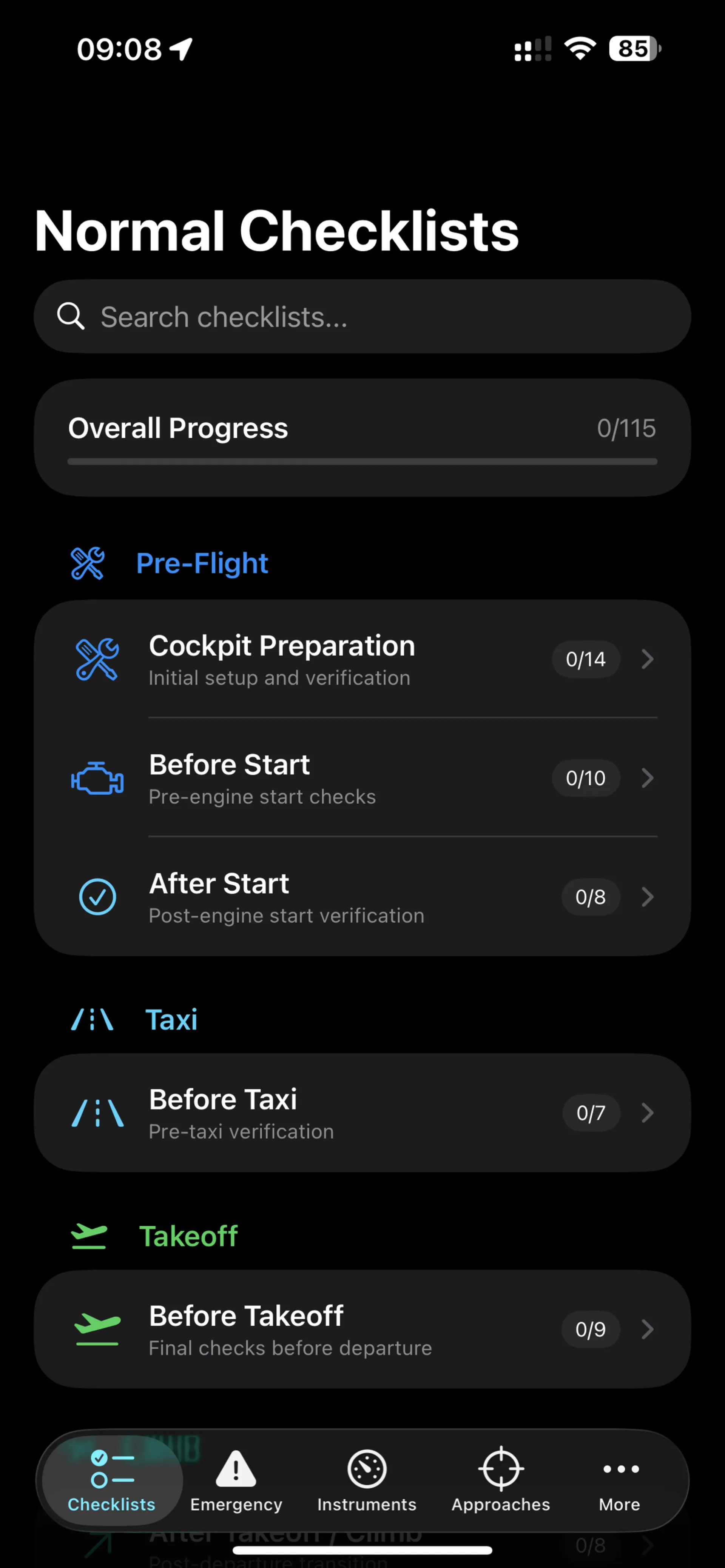
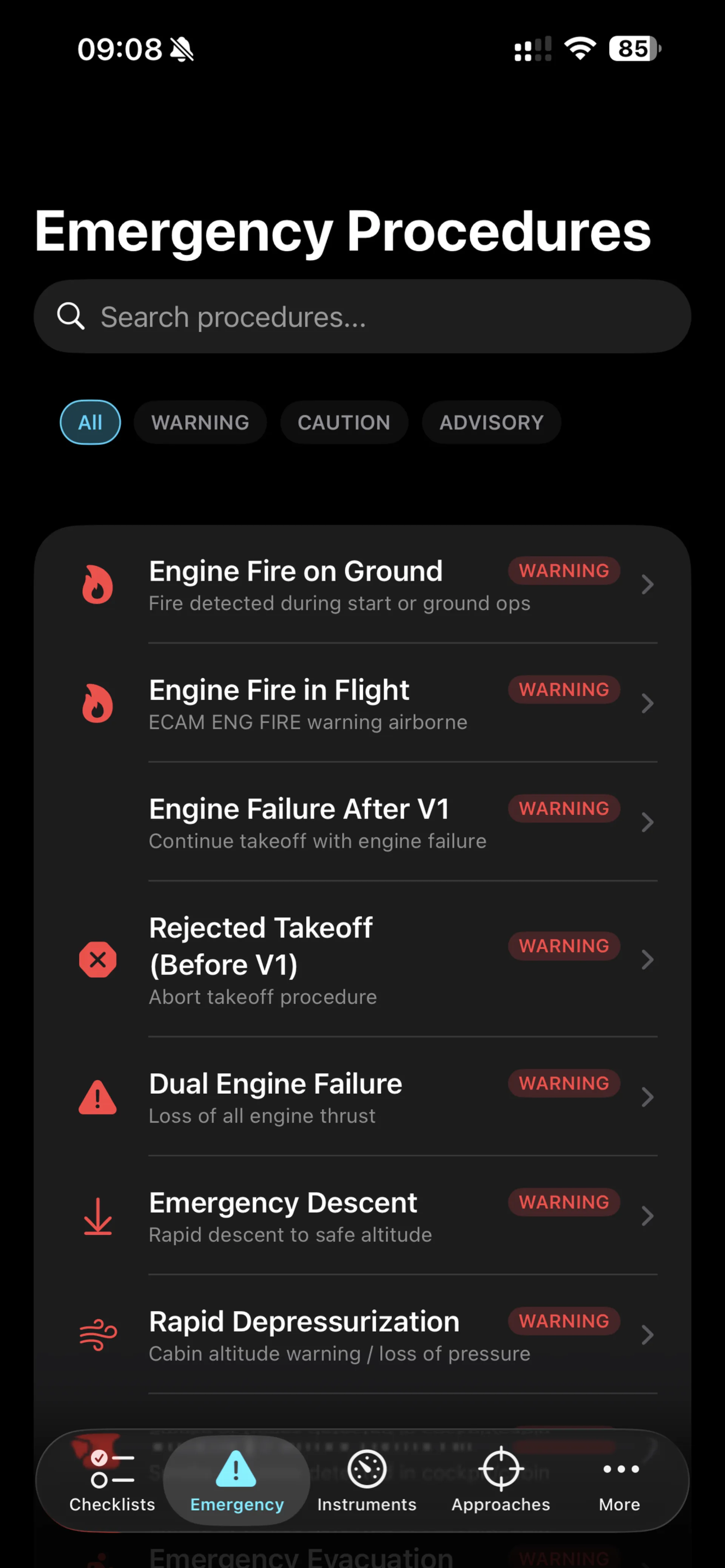
Next-Gen Checklist.
The checklist app for ASTRID. It walks a crew — or the team on the ground for an uncrewed flight — through every step of running the spaceplane, from pre-flight to landing, on an explorable 3-D cockpit you can look around.
Normal & emergency checklists, approach procedure guides, FMGC operations reference, full POH data, and detailed instrument system guides.
328 pilots worldwide using the app, as of August 2026.
How we train our pilots, on Apple Vision Pro
A Level D simulator is the highest-fidelity trainer there is, and as far as we know none exists for a vehicle that leaves the atmosphere — no motion platform reproduces a climb past the Kármán line, re-entry, and a runway landing in one box. So we are building it differently. Apple Vision Pro renders the cockpit at 1:1, and a vestibular stimulation approach we are developing at DEEPBCI™ is intended to supply the sensation of motion and g-force.
It costs a fraction of a Level D simulator and saves us building a second test aircraft to train on — the real airframe stays on the ground, unworn and out of harm’s way — and it applies both to remote operation of the ASTRID spaceplane and to the crewed configurations we plan next.
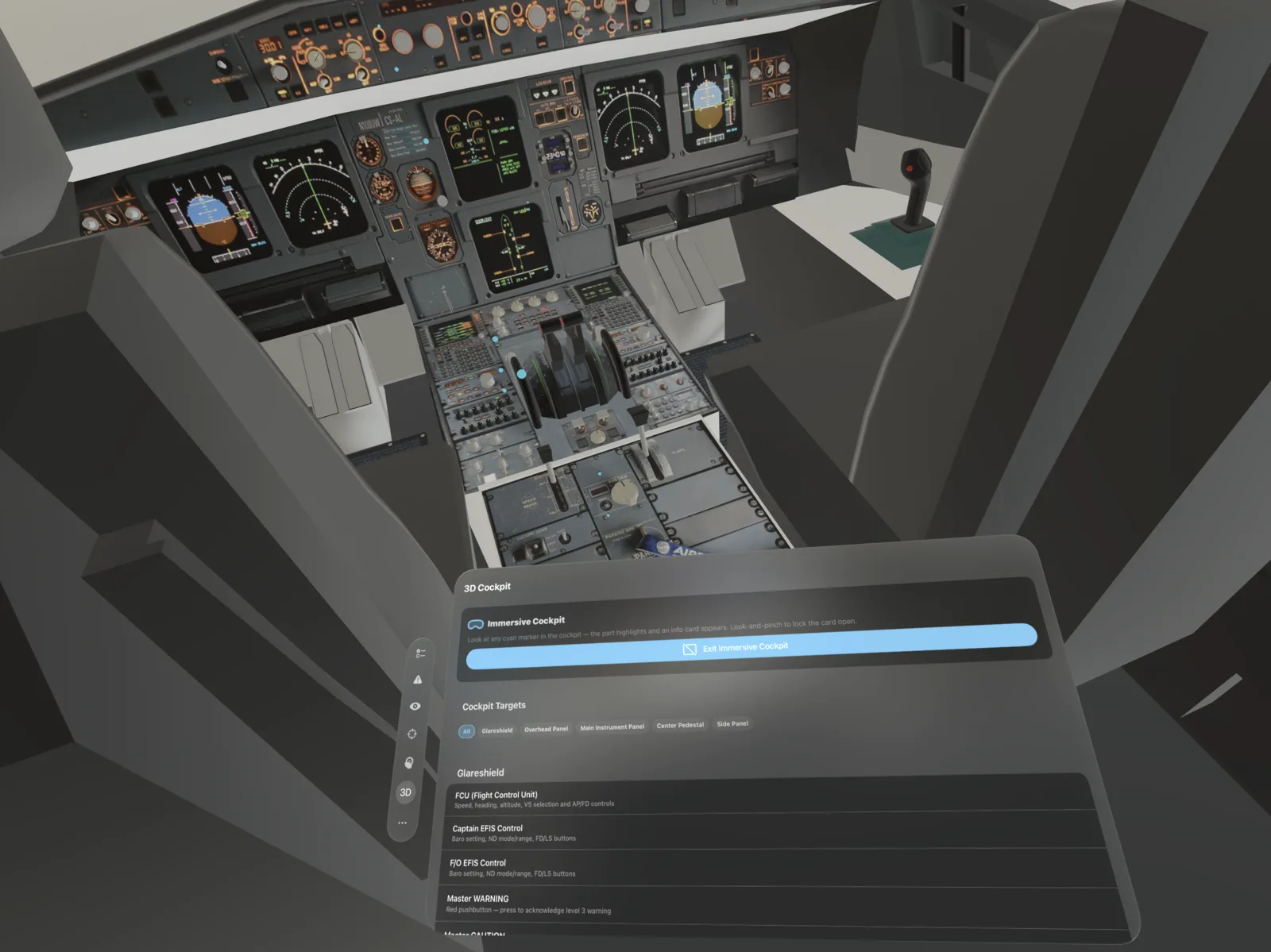
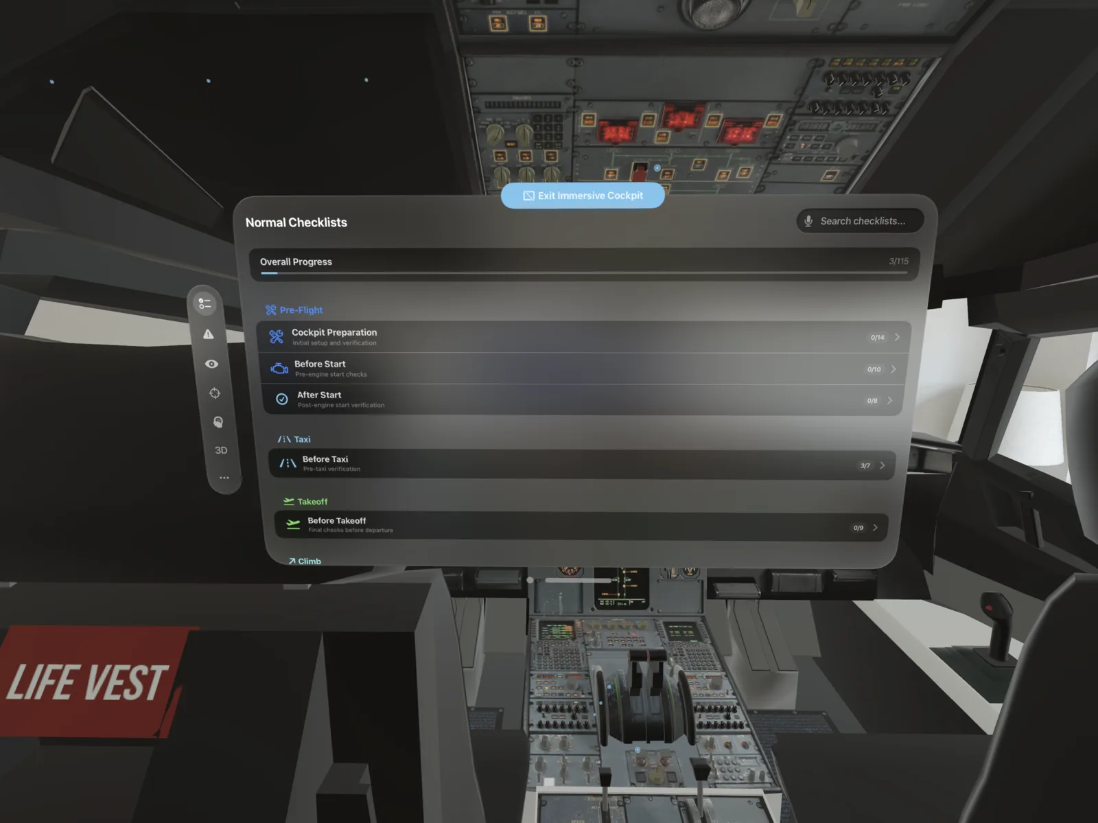
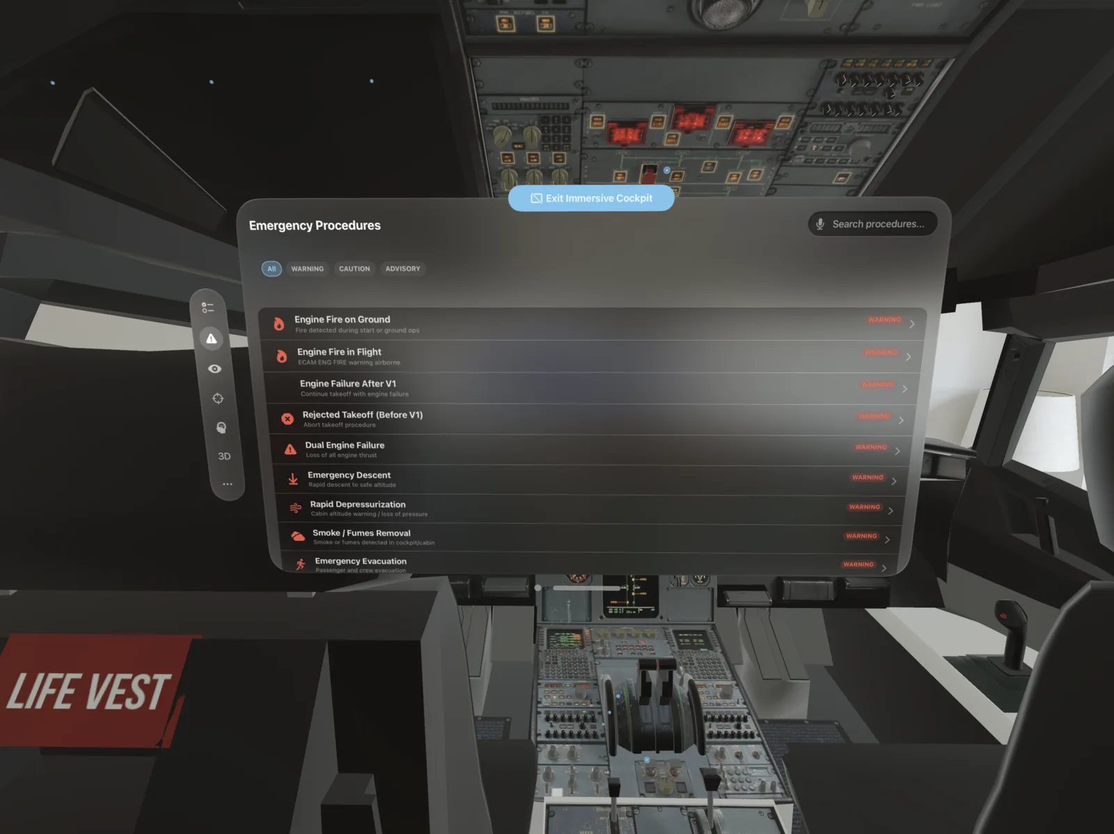
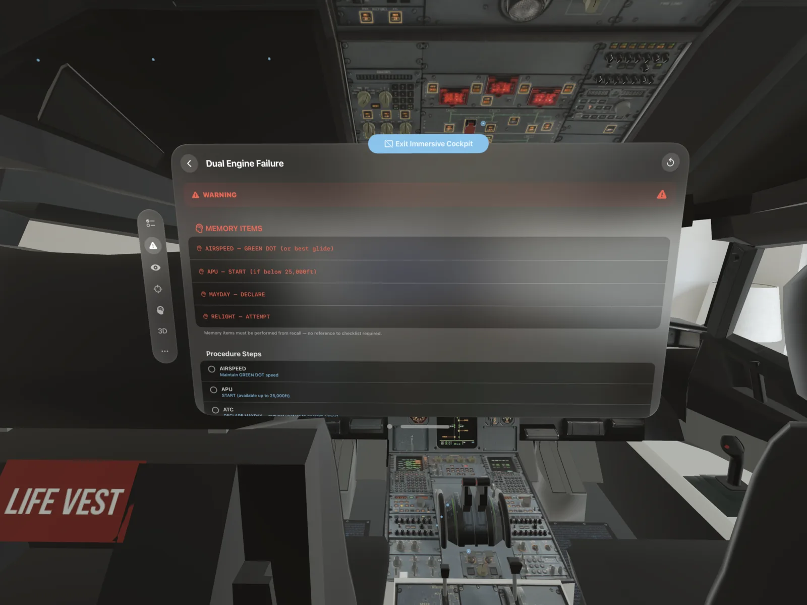
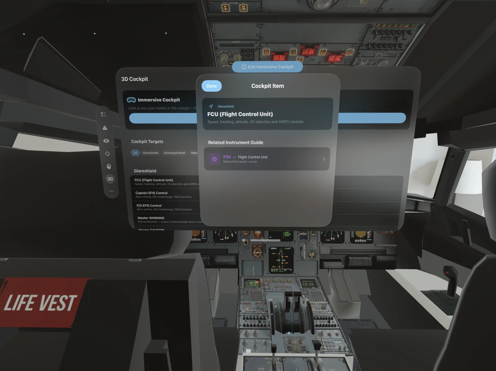
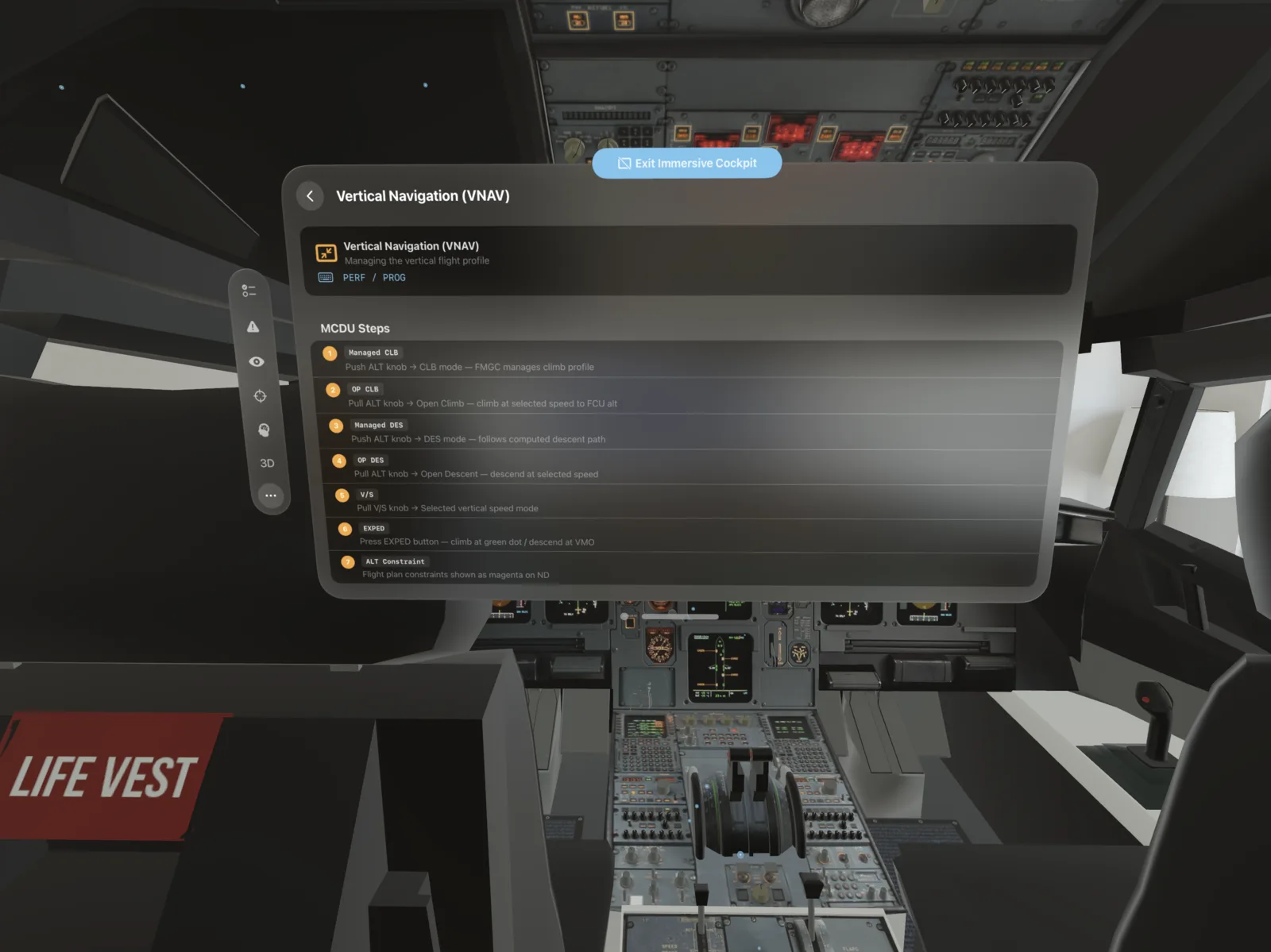
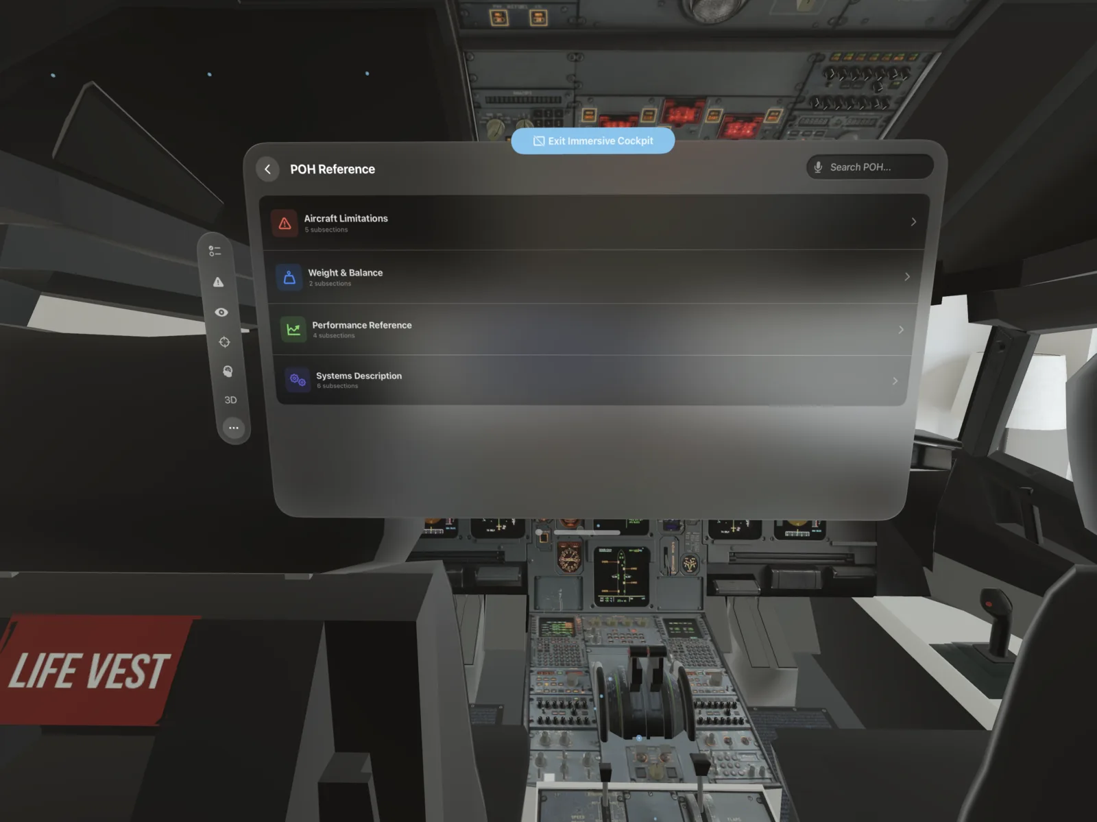
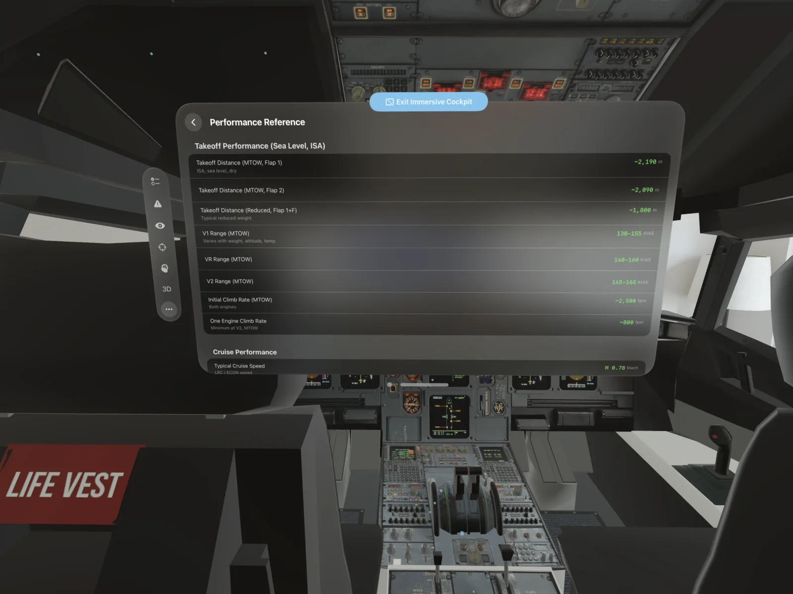
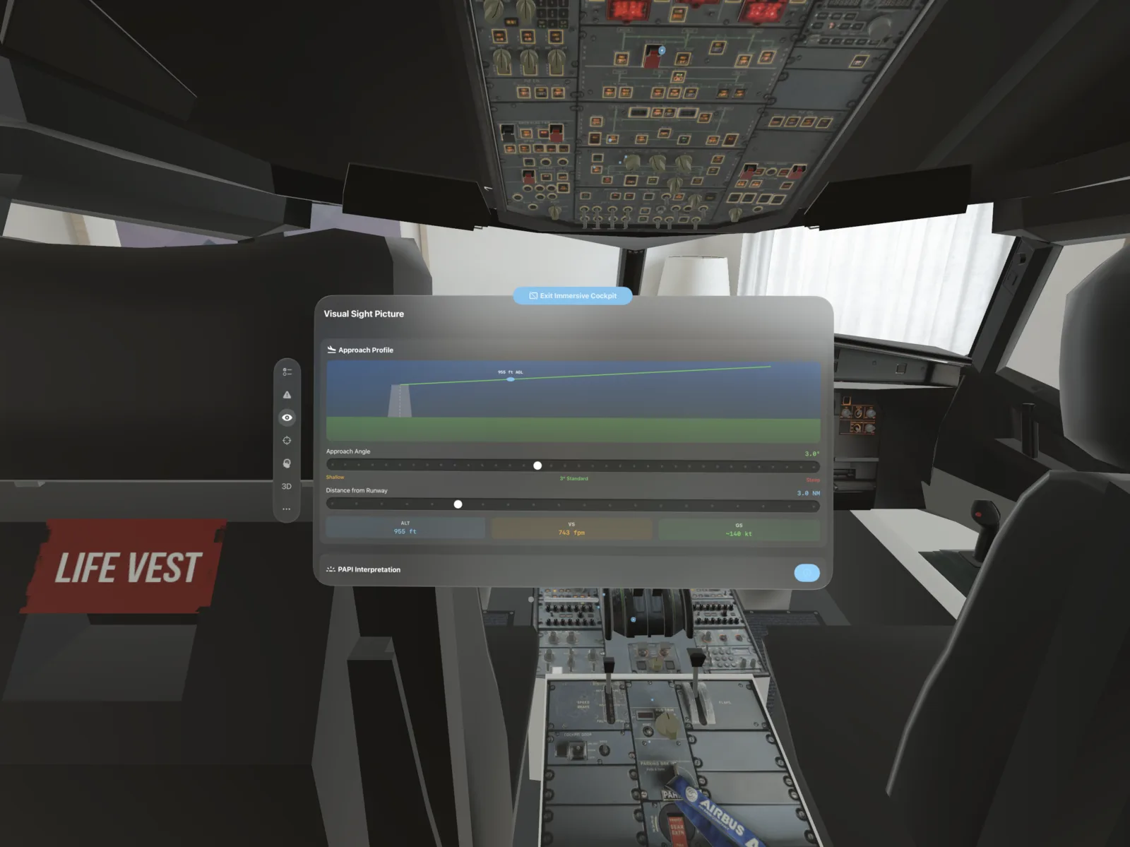
Planned for the 2028 Glide Test.
Autonomous Payload and Crew Transport — over the edge of space.
ASTRID (Advanced Suborbital Transport for Rapid Intercontinental Delivery) is our autonomous lifting-body spaceplane that fits inside commercial launch providers' fairings — or launches with its own propulsion — in SSTO (Single-Stage-to-Orbit) configuration.
Rapid cargo delivery
Instead of a capsule's parachute-and-splashdown impact, ASTRID glides to a soft runway landing under gentle g-forces — delivering time-critical cargo intact. Built for airliner-level reuse: land, refuel, fly again. Cargo delivered whole — without the risk of damage or destruction in transit.
Propulsion
For simplicity and reliability, ASTRID's propulsion runs on storable hypergolic propellant — it ignites on contact, with no complex ignition system. Our first static test fire and glide test are planned at Mojave Air & Space Port.
Project ASTRID is an experimental airframe under active development; figures are engineering estimates, not commercial schedules. “ASTRID” refers to Orchestr Aerospace’s lifting-body program and is unrelated to any similarly named aircraft or product.
Build the next giant leap in aerospace with us.
ORCHESTR AEROSPACE INC
DEEPBCI, INC
contact@orchestrsim.com